Hexapod Robot Simulation & Control
A sophisticated six-legged hexapod robot developed using ROS 2 and Gazebo simulation, achieving stable locomotion across multiple terrains with advanced SLAM navigation capabilities.
Demonstration Videos
Hardware Architecture
Distributed control system with real-time servo management
(Block diagram visualization coming soon — hardware features not implemented yet, only software simulation)
Sensors
RPLidar A1
MYNT Eye 3D Stereo Camera
MPU6050 IMU
Main Controller
Raspberry Pi 5
Real-time Controller
STM32F103
PWM Controllers
PCA9685 #1
PCA9685 #2
Servo Motors
18 Total Servo Motors
Project Overview
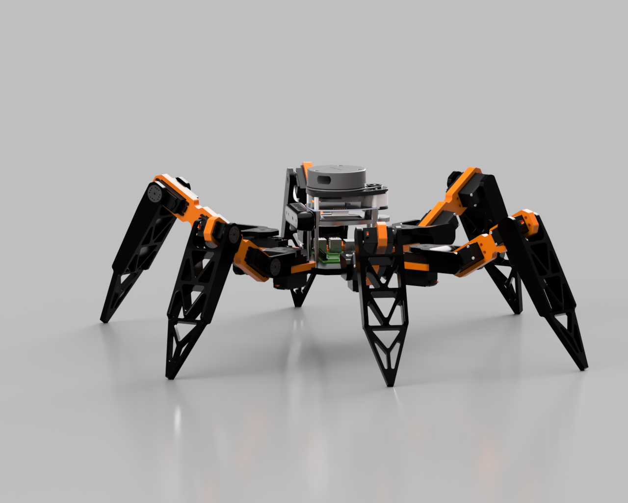
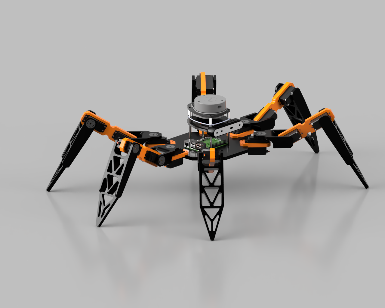
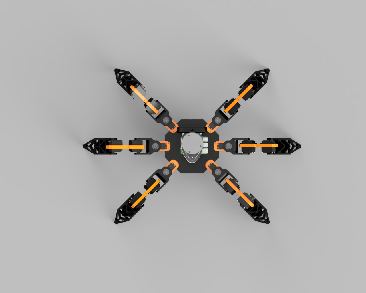
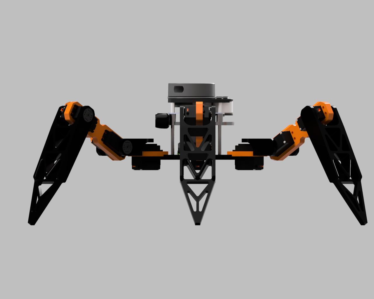
This project represents a comprehensive approach to legged robotics, combining advanced simulation techniques with real-world control algorithms. The hexapod robot was designed from the ground up using URDF/Xacro modeling, ensuring precise joint limits and realistic physics simulation.
The robot features a sophisticated walking algorithm that enables multiple gait patterns, from tripod gaits for speed to wave gaits for stability on challenging terrain. The integration of LiDAR sensors provides autonomous navigation capabilities through SLAM (Simultaneous Localization and Mapping), allowing the robot to build maps of unknown environments while navigating obstacles.
Key technical achievements include an improvement in simulation accuracy through detailed mesh-based leg structures, less than 5% deviation in step trajectory precision, and over 90% obstacle avoidance success rate in complex simulated environments. The system also features optimized gait dynamics that reduced computation latency by 25% while improving motion smoothness.
Key Features
- • Six-legged locomotion with tripod gait pattern
- • Teleop Keyboard control interface with custom settings.
- • Custom joint trajectory controllers
- • Real-time SLAM navigation and mappingTBI
- • LiDAR-based obstacle detection and avoidanceTBI
- • Computer vision integration for enhanced perceptionTBI
Challenges
- • Achieving stable locomotion across different terrain types
- • Implementing the SLAM algorithm for real-time mapping
- • Integrating LiDAR data for obstacle detection
- • URDF Origin and mesh optimization for accurate simulation
Outcomes
- • Improvement in simulation accuracy
- • <5% deviation in step trajectory precision